Sailing has always combined adventure with careful precision. While traditional seamanship skills remain essential, modern sailors increasingly rely on digital tools to navigate safely and efficiently. Marine navigation apps like Navionics have transformed the way recreational boaters, coastal cruisers, and offshore sailors plan routes, monitor hazards, and adapt to changing conditions. These powerful platforms put detailed nautical charts, real-time data, and advanced route planning tools directly into a sailor’s pocket.
TLDR: Marine navigation apps such as Navionics help sailors plan safe routes, monitor weather and tides, and avoid hazards using detailed nautical charts and GPS tracking. These apps combine real-time data, crowd-sourced updates, and smart routing tools to enhance safety and efficiency on the water. While not a replacement for seamanship skills or official charts, they significantly improve situational awareness. Choosing the right app depends on sailing style, cruising region, and desired features.
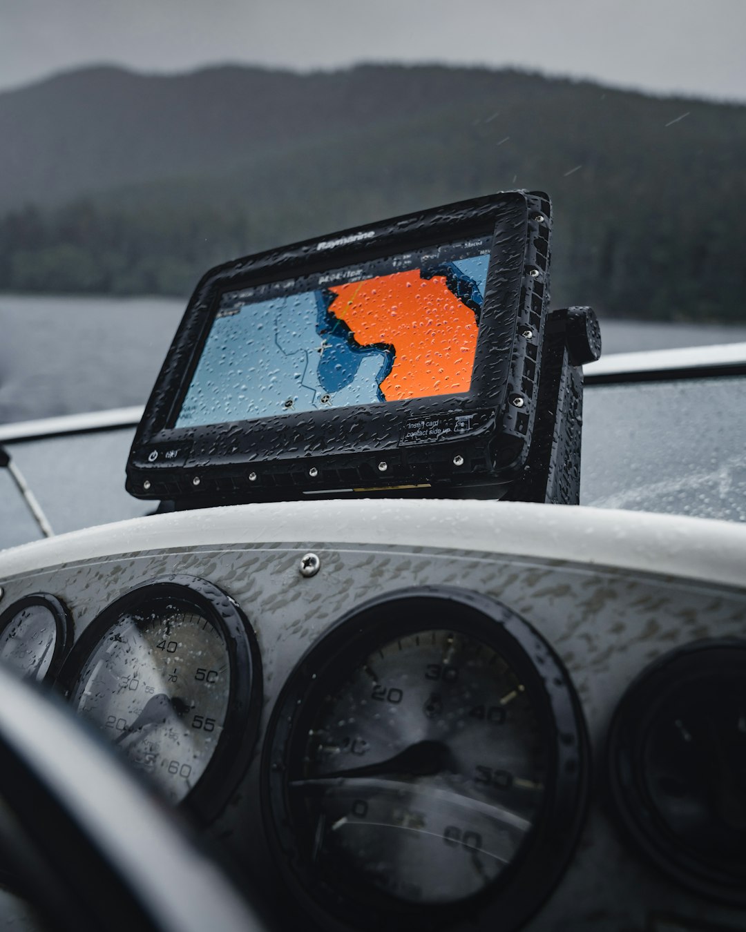
Today’s marine navigation apps do much more than display a vessel’s position on a digital chart. They integrate weather forecasts, tide and current information, sonar data, and community-sourced hazard reports. As a result, sailors can make informed decisions before departure and while underway, reducing risk and increasing confidence.
How Marine Navigation Apps Support Route Planning
At the core of every navigation app is chart-based route planning. Sailors can visualize their journey before leaving the dock, identify shallow areas, mark waypoints, and calculate distances and estimated travel times.
Key route planning features typically include:
- Detailed nautical charts with depth contours and color shading
- Automatic routing that suggests a safe path based on vessel draft
- Waypoint management for marking hazards, anchorages, and marinas
- Distance and ETA calculations based on boat speed
- Offline chart access for remote cruising areas
For example, Navionics offers dock-to-dock auto-routing, allowing sailors to input departure and arrival points while accounting for charted obstacles and water depth. While these automatic suggestions must always be reviewed by the skipper, they provide a valuable starting point.
Savvy sailors cross-check digital routes with official charts and cruising guides, ensuring their plan accounts for tidal range, currents, and local navigational warnings.
Avoiding Hazards with Real-Time Data
Hazard avoidance is one of the most critical aspects of safe navigation. Submerged rocks, sandbars, shoals, wrecks, and restricted zones pose constant risks. Marine navigation apps help reduce these risks through multiple layers of information.
Hazard identification tools include:
- Sonar chart overlays showing detailed bottom contours
- Crowd-sourced updates reporting uncharted dangers
- ActiveCaptain or community databases with marina and hazard notes
- AIS integration displaying nearby vessel traffic
- Tidal and current overlays highlighting changing conditions
In coastal regions where sandbars shift frequently, community edits and local reports can be especially useful. While not official hydrographic data, they add another layer of situational awareness. Some apps also integrate with onboard instruments, giving real-time depth soundings and wind data.
Image not found in postmetaSailors must remember that digital charts are not infallible. GPS errors, outdated data, and device malfunctions are possible. Nevertheless, when combined with traditional lookout practices and paper backups, these tools significantly reduce grounding risks.
Weather Monitoring and Environmental Awareness
Weather can change rapidly at sea. Marine navigation apps now integrate sophisticated weather forecasting, providing sailors with access to wind models, storm tracks, and pressure systems.
Common weather-related features include:
- Wind speed and direction overlays
- Wave height forecasts
- Precipitation radar
- Tide stations and current predictions
- GRIB file downloads for offshore sailors
By overlaying wind forecasts onto chart routes, sailors can adjust course or timing to avoid headwinds or thunderstorms. Offshore cruisers especially benefit from GRIB data, which allows route optimization days in advance.
Leading Marine Navigation Apps Compared
Although Navionics is one of the most recognized names in marine navigation, several other apps offer competitive features. The right choice depends on sailing region, budget, and technical needs.
| App | Best For | Key Features | Offline Access |
|---|---|---|---|
| Navionics | Coastal and inland cruisers | Auto-routing, sonar charts, community edits, tide data | Yes |
| iNavX | Advanced offshore sailors | Multiple chart sources, AIS integration, instrument connectivity | Yes |
| Aqua Map | Budget-conscious boaters | Detailed depth shading, anchor alarm, ActiveCaptain support | Yes |
| C-MAP | Long-distance cruisers | Weather routing, marina database, vector charts | Yes |
Each app offers subscription-based access to chart regions and premium features. Sailors often choose based on local chart quality, ease of use, and compatibility with onboard electronics.
Enhancing Situational Awareness Onboard
Modern navigation apps do not function in isolation. They often connect to onboard systems via Wi-Fi or Bluetooth, displaying:
- Real-time depth from depth sounders
- Wind speed from masthead sensors
- Heading data from electronic compasses
- AIS targets from transceivers
This integration transforms a simple tablet into an auxiliary chartplotter. Sailors steering from a cockpit can monitor traffic separation zones, crossing vessels, and shipping lanes without constantly checking fixed instruments below deck.
Anchor alarms are another valuable tool. When activated, they notify sailors if the vessel drifts beyond a set radius, providing peace of mind during overnight stops.
Limitations and Best Practices
Despite their advantages, navigation apps should never fully replace sound seamanship.
Best practices for safe use include:
- Always carrying official paper charts as backup
- Keeping devices fully charged and protected from water
- Downloading charts for offline use before departure
- Cross-referencing digital routes with local notices to mariners
- Maintaining visual lookout at all times
Battery failure, overheating, or accidental drops can render a smartphone useless. Waterproof cases, redundant devices, and onboard charging systems are essential for extended trips.
Additionally, sailors should periodically update chart data, as buoy positions and hazard information may change seasonally.
The Future of Marine Navigation Apps
The next generation of marine navigation software is expected to integrate artificial intelligence, predictive routing, and enhanced satellite imagery. Machine learning could analyze historical weather patterns, vessel performance data, and tidal models to produce even more optimized routes.
Augmented reality may also become common, overlaying navigation markers directly onto a camera view of the horizon. As satellite connectivity becomes more accessible offshore, real-time chart updates may further improve accuracy and safety.
Ultimately, these technologies aim to enhance decision-making rather than replace human judgment. Safe sailing will always depend on awareness, training, and prudent planning.
Conclusion
Marine navigation apps like Navionics represent a profound advancement in recreational and professional sailing. By combining detailed charts, real-time weather data, hazard overlays, and route-planning tools, they provide sailors with unprecedented awareness. When used responsibly alongside traditional navigation skills, these apps significantly reduce risks associated with grounding, collisions, and unexpected weather changes.
As technology continues to evolve, sailors who embrace thoughtful integration of these tools will benefit from safer journeys, smoother passages, and greater confidence on the water.
Frequently Asked Questions (FAQ)
1. Are marine navigation apps accurate enough to replace chartplotters?
Most marine navigation apps use high-quality chart data and are very accurate when paired with GPS. However, they should not fully replace dedicated chartplotters or official paper charts, especially for offshore navigation.2. Do these apps work without internet access?
Yes. Most marine navigation apps allow users to download charts for offline use. GPS positioning works without cellular service, but weather updates typically require internet access unless pre-downloaded.3. How often should chart data be updated?
Chart data should be updated regularly, especially before long trips. Many apps provide periodic updates that include new hazard markings and buoy repositioning.4. Can marine navigation apps help avoid collisions?
Apps that support AIS integration can display nearby vessel movements. While helpful, sailors must still maintain proper lookout and follow collision regulations.5. Are marine navigation apps suitable for offshore ocean crossings?
Yes, many experienced sailors use them offshore, particularly those that support GRIB weather files and multiple chart formats. However, redundancy and backup navigation methods are strongly recommended.6. What device is best for running marine navigation apps?
Tablets with larger screens are generally preferred for visibility and usability. Waterproof cases and external GPS receivers can further improve performance and durability.